

A thunderstorm warning arrives late when your team relies only on the sky above your outdoor site. Storms build for many minutes before official alerts land on any phone or radio near you. Learning the visual and atmospheric signs closes the gap between growing danger and your response.
Every storm produces the same core warning signs that outdoor safety leaders can learn to read. Some clouds mean shelter now, while others suggest close monitoring but no immediate action yet. Your ability to act on these signs shapes how well your safety plan performs under pressure.
What Thunderstorm Warning Signs Need Immediate Action?
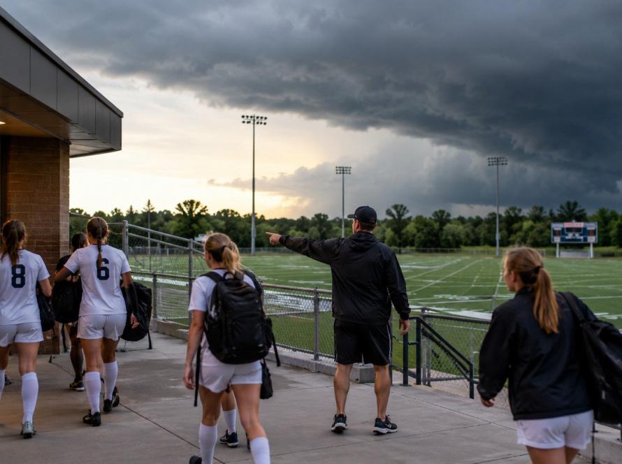
A thunderstorm warning demands immediate action when you see cumulonimbus growth, anvil clouds, or wall clouds. Rapid wind shifts, falling temperatures, and darkening skies also signal a storm building close overhead. You should move people to shelter before rain, hail, or the first lightning strike arrives on site.
Visual Signs That Signal a Coming Thunderstorm Warning

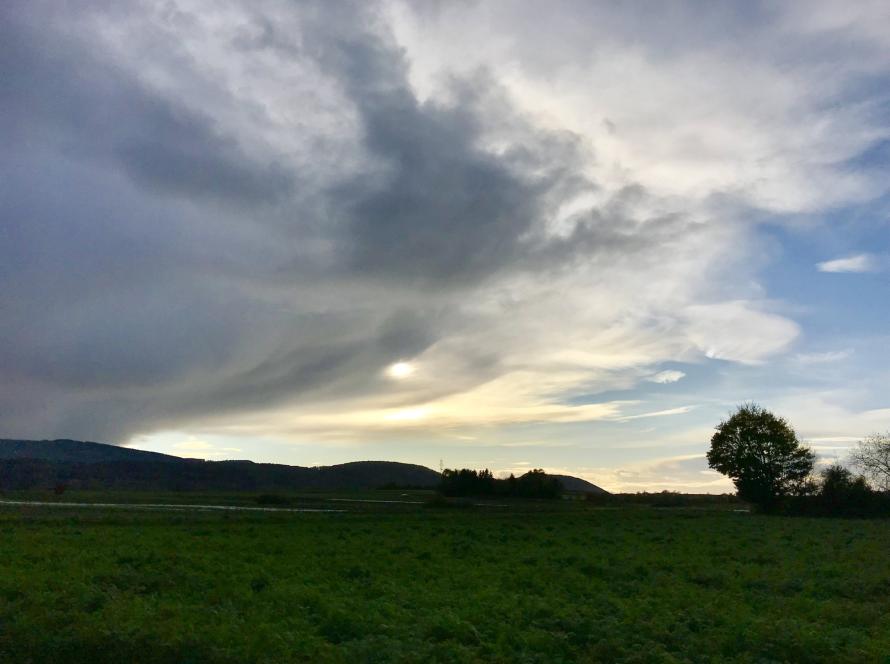
A local thunderstorm warning often follows visual signs your team can spot in the sky first. Cumulonimbus clouds grow vertically to great heights and mark the presence of a developing thunderstorm. The flat, anvil-shaped top of a mature cumulonimbus signals a storm with real energy behind it.
According to Fox Weather storm cloud guidance, cumulonimbus clouds can grow to nearly 40,000 feet in height. Anvil clouds form when strong upper-level winds shear the cloud top and push it downstream. Wall clouds and mammatus formations below the anvil often mark the most dangerous storm phases.
Watch for these cloud and sky patterns during outdoor operations:
- Tall cauliflower-shaped cumulonimbus clouds building rapidly overhead
- Flat anvil tops spreading downwind from a growing storm cell
- Pouch-like mammatus clouds hanging under a cumulonimbus anvil
- Shelf clouds along the leading edge of a gust front
- Sudden darkening, cooling, or wind shifts near your facility
In practice, these signs arrive well before a formal thunderstorm warning reaches your phone. Your visual observations give your safety team a head start on evacuation and shelter.
Trained spotters and safety leaders should log any of these signs immediately when observed. Additionally, radar and prediction data confirm what your eyes already suggest about developing conditions.
How Sky Conditions Point Toward Severe Weather

Severe weather has specific criteria that trigger an official thunderstorm warning from the National Weather Service. According to OpenSnow's severe thunderstorm explainer, the threshold is 58 mph wind gusts or 1-inch hail. A tornado also meets the severe threshold, though only the wind and hail values are numerical.
Your outdoor site can face damage well before those official thresholds are met near you. Lightning is not part of the official severe thunderstorm definition, yet it kills more people annually. Wind gusts under 58 miles per hour still knock down branches, tents, and light equipment.
Falling barometric pressure signals a storm building in your area even before clouds thicken overhead. A sudden temperature drop of 10 degrees or more often marks a nearby storm's outflow. Wind shifts from calm to gusty within minutes often signal the leading edge of a gust front.
In short, a thunderstorm warning is only one signal your team should be watching for. On-site atmospheric readings catch danger the National Weather Service may not yet see for you.
Turning a Thunderstorm Warning Into Immediate Action
A thunderstorm warning means little without a clear response plan that your team already knows. Every outdoor facility should predefine who calls the evacuation and how horns and strobes activate. The gap between warning and action is where most preventable injuries occur during severe storms.
Thor Guard prediction systems tie sky observations to live atmospheric readings around your facility. The TG360 platform triggers horns and strobes automatically when charge builds toward a first strike. You gain a warning window before rain, hail, or lightning even reaches your outdoor space.
For schools and colleges under detection mandates, TG360 Hybrid layers prediction on the required rule. You keep your compliance protocol intact while gaining earlier warnings for staff and student safety. Similarly, campus emergency notification can piggyback on the same hardware for non-weather incidents.
Thor Guard's blog on prediction versus detection explains the science behind first-strike warnings. You can also review how prediction technology protects people and property across outdoor industries.
Strengthen Your Storm Response With Thor Guard
A thunderstorm warning is only useful when your team can act on it in minutes. Visual signs, atmospheric readings, and prediction data together give you the earliest possible response window. You reduce injury risk, cut unnecessary downtime, and give your safety leaders clearer decision data.
Thor Guard has built prediction and warning systems since 1973 for outdoor operations worldwide. You can learn about our company and product line at any time. To build a warning system around your specific facility, connect with our team for a walkthrough.